The best way to prevent this is by focusing on the basics. America needs a major all-of-society push to increase the number of U.S. students being trained in both the fundamentals of math and in the more advanced, rigorous, and creative mathematics. Leadership in implementing this effort will have to come from the U.S. government and leading technology companies, and through the funding of ambitious programs. A few ideas come to mind: talent-spotting schemes, the establishment of math centers, and a modern successor to the post-Sputnik National Defense Education Act, which would provide math scholarships to promising students along with guaranteed employment in either public or private enterprises.
Forget about “AI” itself: it’s all about the math, and America is failing to train enough citizens in the right kinds of mathematics to remain dominant.
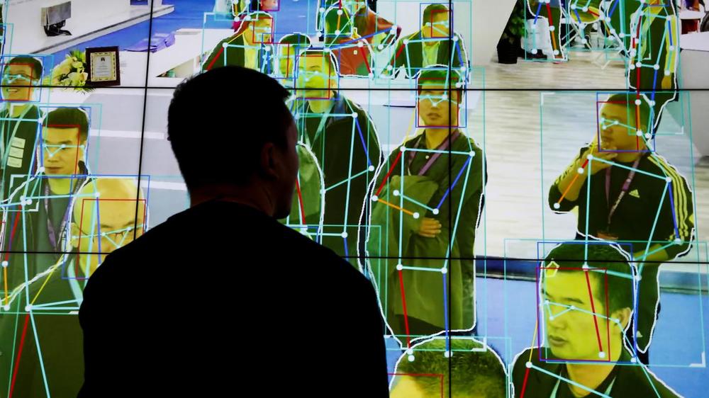
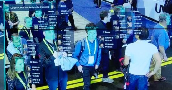
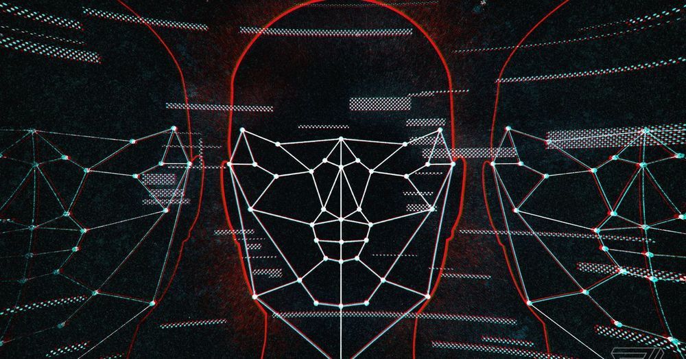
THE WORLD first took notice of Beijing’s prowess in artificial intelligence (AI) in late 2017, when BBC reporter John Sudworth, hiding in a remote southwestern city, was located by China’s CCTV system in just seven minutes. At the time, it was a shocking demonstration of power. Today, companies like YITU Technology and Megvii, leaders in facial recognition technology, have compressed those seven minutes into mere seconds. What makes those companies so advanced, and what powers not only China’s surveillance state but also its broader economic development, is not simply its AI capability, but rather the math power underlying it.

