Scientists have labored for decades to understand how brain structure and functional connectivity drive intelligence. A new analysis offers the clearest picture yet of how various brain regions and neural networks contribute to a person’s problem-solving ability in a variety of contexts, a trait known as general intelligence, researchers report.
They detail their findings in the journal Human Brain Mapping.
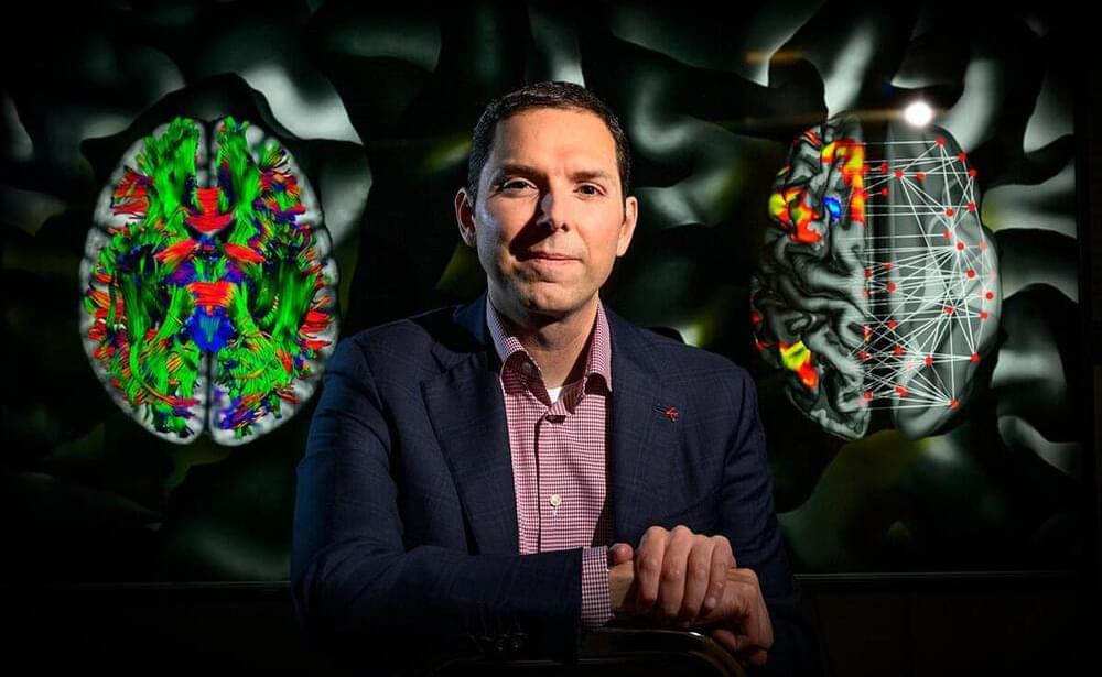
The study used “connectome-based predictive modeling” to compare five theories about how the brain gives rise to intelligence, said Aron Barbey, a professor of psychology, bioengineering and neuroscience at the University of Illinois Urbana-Champaign who led the new work with first author Evan Anderson, now a researcher for Ball Aerospace and Technologies Corp. working at the Air Force Research Laboratory.