👉For business inquiries: [email protected].
✅ Instagram: https://www.instagram.com/pro_robots.
You are on PRO Robots channel and in this video we present news of high technologies. Live-skinned robo-opalester, working prototype of the Tesla Bot robot, dream robot of Boston Dynamics founder Mark Rybert, serial launch of Cybertruck and the first jet-powered flying motorcycle! Watch all the most interesting high-tech news in one issue!
0:00 Intro.
0:24 Robo Finger with Live Skin.
1:36 Elon Musk promised to showcase Tesla Bot in September.
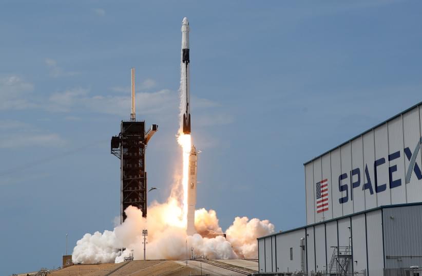
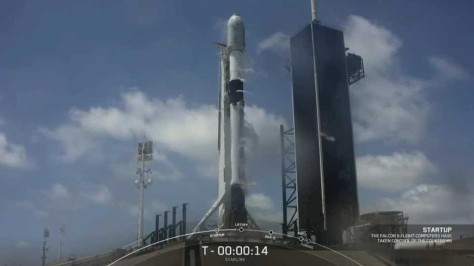
2:43 Tesla Cybertruck.
3:48 Speeder P2 Jet Pack.
4:45 ANYmal robot, which on wheels moves better and more carefully.
6:03 China Introduced Artificial Intelligence for Military.
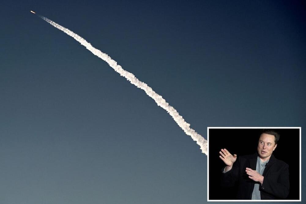
6:28 For the second time, NASA has installed its Lunar Mission SLS rocket.
6:55 Aerotaxis eVTOL VoloConnect.
7:23 Prosperity I Apparatus.
8:12 Pizzaiola robot chef.
8:50 Raspberries assembled by robots.
9:36 GRoW and MetoMotion will make their debut at GreenTech Amsterdam 2022
10:06 Delivery of pizza by drones becomes a reality.
10:37 Car Jidu Robo-1
11:44 Geely recently launched its own unmanned vehicle navigation satellites.
12:06 Robot for manicure.
#prorobots #robots #robot #futuretechnologies #robotics.
More interesting and useful content:
✅ Elon Musk Innovation https://www.youtube.com/playlist?list=PLcyYMmVvkTuQ-8LO6CwGWbSCpWI2jJqCQ
✅Future Technologies Reviews https://www.youtube.com/playlist?list=PLcyYMmVvkTuTgL98RdT8-z-9a2CGeoBQF
✅ Technology news.
https://www.facebook.com/PRO.Robots.Info.
#prorobots #technology #roboticsnews.