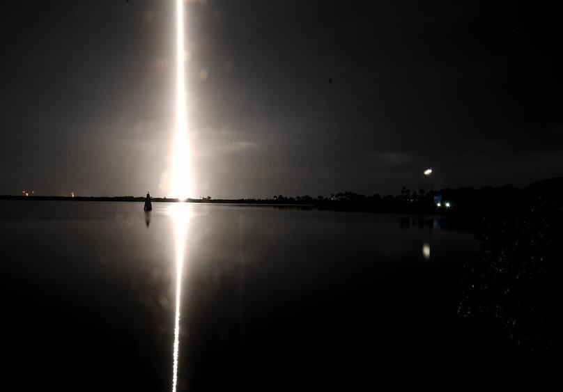
The addition of SpaceX’s Falcon 9 brings a new dynamic to Amazon’s Project Kuiper, introducing unexpected competition within the space industry.
Amazon, SpaceX
Rivals and partners.
The addition of SpaceX’s Falcon 9 brings a new dynamic to Amazon’s Project Kuiper, introducing unexpected competition within the space industry.
Amazon, SpaceX
Rivals and partners.
Billionaire CEO Elon Musk on Friday said that his rocket manufacturing company SpaceX launched the satellite systems of its rivals without favoring their own.
The CEO took to X to clarify the same after SpaceX entered into a contract to launch Amazon.com Inc’s AMZN Kuiper satellites, aimed at providing satellite internet along the lines of SpaceX’s Starlink.
What Happened: Under the newly announced contract, SpaceX’s Falcon 9 rocket will launch thrice to deliver Kuiper satellites to low-Earth orbit starting mid-2025. Project Kuiper is a project by the e-commerce giant aimed at providing broadband with the help of a network of satellites in low-Earth orbit like Starlink.
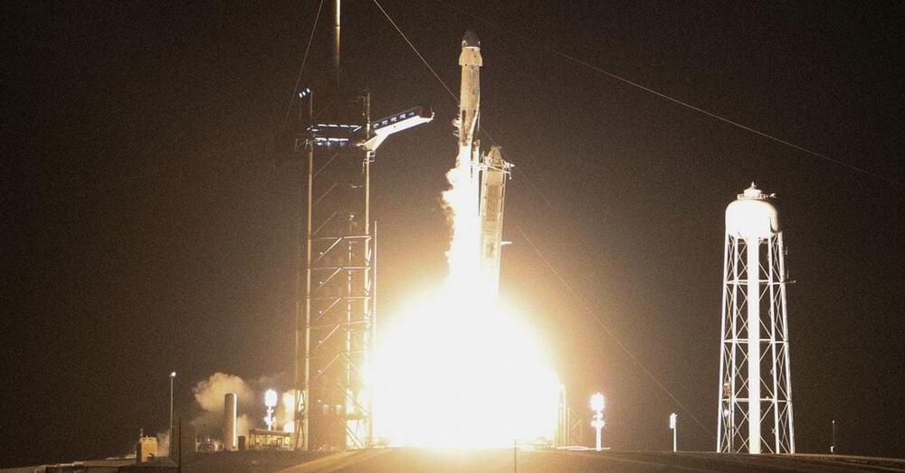
Dec 1 (Reuters) — Amazon (AMZN.O) on Friday said it booked three Falcon 9 launches with Elon Musk’s SpaceX to help deploy the ecommerce giant’s Project Kuiper satellite network, tapping a rival in the satellite internet business for its multi-billion dollar launch campaign.
Amazon aims to build Kuiper as a constellation of 3,236 satellites in low Earth orbit to beam broadband internet globally and compete with SpaceX’s Starlink network, which already has some 5,000 satellites providing nearly global coverage.
Amazon, which vowed in 2019 to invest $10 billion into the project, will put an unspecified number of Kuiper satellites on three Falcon 9 rockets from SpaceX beginning in mid-2025, the company said Friday.
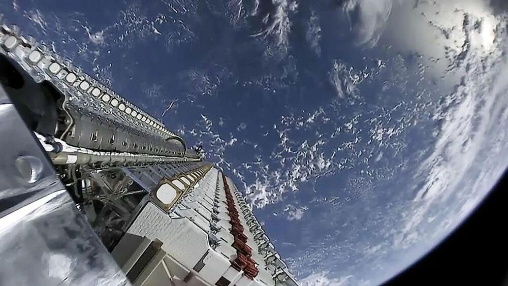
The network’s total capacity will surpass 500 Gbps by 2025.
While China is already marching ahead with its internet infrastructure, the country has announced the completion of its first high-orbit satellite communication network, which aims to provide fast and reliable internet service within its territory and to several countries along its Belt and Road initiative.
The network, which consists of three high-throughput satellites named ChinaSat 16, 19, and 26, is expected to compete with SpaceX’s Starlink, a low-orbit satellite system developed by the American aerospace company, according to a Beijing-based communications expert.
500 Gbps speeds by 2025
According to the state news agency Xinhua, the state-owned China Aerospace Science and Technology Corporation, which owns the satellite operator, said the network would offer internet service for various sectors, such as aviation, navigation, emergency, and energy.
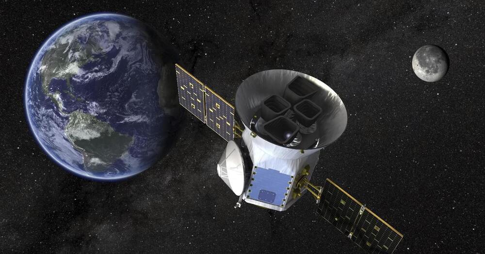
Astronomers have discovered a rare in-sync solar system with six planets moving like a grand cosmic orchestra, untouched by outside forces since their birth billions of years ago.
The find, announced Wednesday, can help explain how solar systems across the Milky Way galaxy came to be. This one is 100 light-years away in the constellation Coma Berenices. A light-year is 5.8 trillion miles. A pair of planet-hunting satellites — NASA’s Tess and the European Space Agency’s Cheops — teamed up for the observations that discovered the solar system.
Derrick Pitts, the chief astronomer at Philadelphia’s Franklin Institute, told CBS News that the planets are a rare example of how researchers “think solar systems are born.”
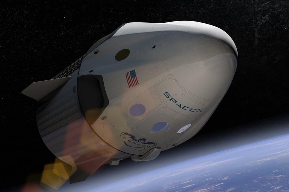
SpaceX is known for its vertical integration, but one component it’s been outsourcing is parachutes — until earlier this month, when the company quietly acquired parachute vendor Pioneer Aerospace after its parent company went bankrupt. The Information first reported the news.
This is the second known acquisition for SpaceX, which acquired small satellite startup Swarm in 2021 for a $524 million mostly-stock deal. Pioneer is coming much more cheaply: SpaceX has snapped it up for just $2.2 million, according to a bankruptcy filing by Pioneer’s parent company in Florida.
WATCH: TESS, NASA’s new exoplanet hunter, launches on a SpaceX Falcon 9 rocket
A pair of planet-hunting satellites — NASA’s TESS and the European Space Agency’s CHEOPS— teamed up for the observations.
None of the planets in perfect synchrony are within the star’s so-called habitable zone, which means little if any likelihood of life, at least as we know it.
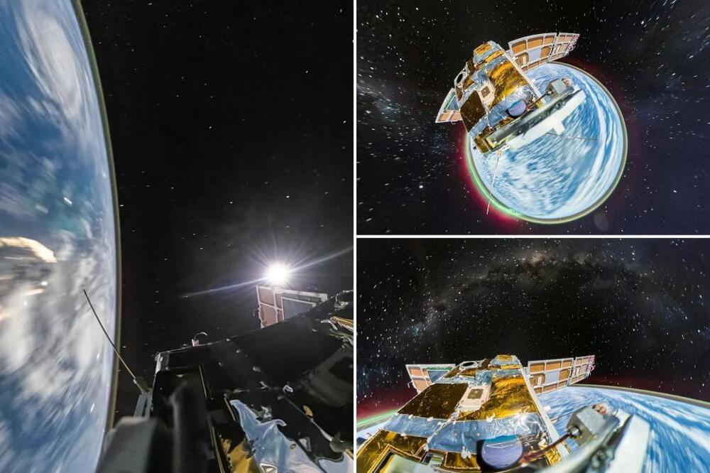
The first 360-degree cameras sent to space have captured incredible, high-definition images of Earth like never before seen.
Chinese tech company Insta360 recently unveiled the breathtaking photos of the blue planet against the deep darkness of space which were taken by its two cameras attached to satellites orbiting Earth.
Insta360 launched the satellites with the 360-degree action cameras attached about 310 miles into space on Jan. 16 after beginning the project in July 2021.
