Very true point.
With the launch of the world’s first quantum communication satellite, the era of unhackable communication has begun.

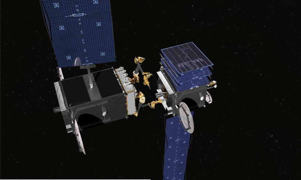
A first step in establishing repair standards on satellite in space; wonder could we eventually see a version of the EPA or in space.
SAN FRANCISCO — The U.S. Defense Research Projects Agency plans to establish a consortium to discuss standards and practices for on-orbit satellite servicing as a corollary to Robotic Servicing of Geostationary Satellites (RSGS), an effort to develop robotic spacecraft to inspect, repair and move other satellites.
“Our fear was that we would create a robotic servicing capability through RSGS and when our industry partner went to Lloyds of London for insurance, someone would say, ‘You have no authority to conduct that mission,’” said Brad Tousley, director of DARPA’s Tactical Technology Office.
Through the construction and operation of the International Space Station, the international community has established laws and regulations concerning government spacecraft conducting rendezvous and proximity operations with other government spacecraft as well as government spacecraft conducting rendezvous and proximity operations with commercial spacecraft.

China 2 yr Quantum Communication program’s goal is to reliably transmit ‘unhackable’ keys from space to the ground through quantum entanglement.
China has been the first country to utilize quantum technologies within their satellites in order to mitigate the threats from cyber attacks in their country.
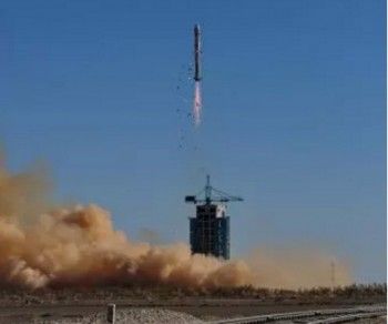
With this week’s overload of news flashes about the Quantum Satellite launch, I restrained from publishing too much repeat news on the launch. However, I came across an excellent article from NASAspaceflight.com that provides additional and good details about some of the initial “publically known” experiments that are to be conducted by the Chinese.
Of course, as with any government agency, not all information is shared.
https://www.nasaspaceflight.com/2016/08/long-march-2d-quantu…satellite/
The Chinese have launched the first satellite that can achieve quantum communications between space and Earth. The launch of the Quantum Science Satellite – called Mozi – took place at 17:40 UTC on Monday using a Long March-2D (Chang Zheng-2D) launch vehicle from the 603 Launch Pad of the LC43 complex at the Jiuquan space center. Chinese Launch: The new satellite is dedicated to quantum science experiments. The Quantum Space Satellite, (or Quantum Experiments at Space Scale) will test the phenomena of quantum entanglement.
Operated by the China Academy of Sciences, this 500 kg satellite – announced as the name “Mozi” in honor of a fifth century BC Chinese scientist – contains a quantum key communicator, quantum entanglement emitter, entanglement source, processing unit, and a laser communicator.
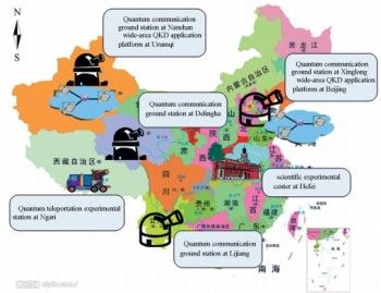
QUESS will relay transmissions between two ground stations (one in China, and the other in Europe) transmitting quantum keys.
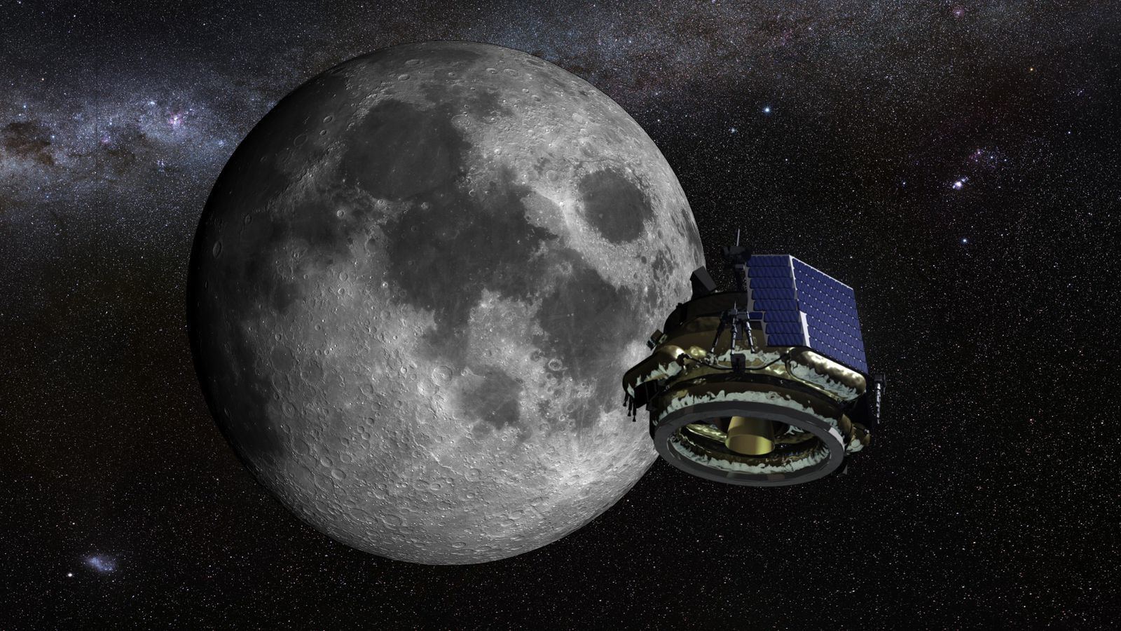
Spaceflight venture Moon Express wants to be the first private company ever to land on the Moon in 2017 — and now the company has been granted approval by the United States government to launch to the lunar surface. It’s the first time the government has granted regulatory approval for a private mission beyond Earth orbit. And Moon Express came very close to being denied permission to go.
No regulatory framework currently exists for a commercial space missions to another world. Lawmakers are working on a permanent solution, but it likely won’t be ready in time for Moon Express’ 2017 mission. So the company came up with its own temporary framework — a regulatory patch — that the US government could use to oversee the company’s mission. And after a meeting between the Federal Aviation Administration, the White House, and the State Department, Moon Express has been given the approval it needs to launch to the Moon.
So far, commercial companies have mostly just launched satellites into space; all specialized private missions, like launching cargo to the space station, have been overseen by NASA. That means Moon Express could be the first private company to land on the Moon, as well as the company that travels the farthest away from our planet.
Sure some things may be hyped up; however, not everything including hacking. And, I would not wish to see others make the mistake of believing that they will not be hacked by state funded hackers with access to a quantum network. Especially, when you understand China’s advances in QC and close partnerships with Australia’s QC labs and researchers.
A word of caution so we can all be excited for the right reasons.

Researchers display an earth-based telescope in Chengdu, capital of southwest China’s Sichuan Province, Aug. 17, 2016. China successfully launched the world’s first quantum satellite from the Jiuquan Satellite Launch Center in northwestern Gobi Desert at 1:40 a.m. on Tuesday. Five earth-based telescopes distributed across the country will be used in the Quantum Experiments at Space Scale (QUESS), four of which were developed by the Institute of Optics and Electronics of the Chinese Academy of Sciences in Chengdu. (Photo/Xinhua)

BLASTOFF! China has launched their new Quantum Satellite today Tuesday. It is the beginning of a whole new tech & communications world.
BEIJING—China on Tuesday launched the world’s first quantum satellite, which will help it establish “hack-proof” communications between space and the ground, state media said, the latest advance in an ambitious space program.
The program is a priority as President Xi Jinping has urged China to establish itself as a space power, and apart from its civilian ambitions, it has tested anti-satellite missiles.
The Quantum Experiments at Space Scale, or QUESS, satellite, was launched from the Jiuquan Satellite Launch Center in the remote northwestern province of Gansu in the early hours of Tuesday, the official Xinhua news agency said.
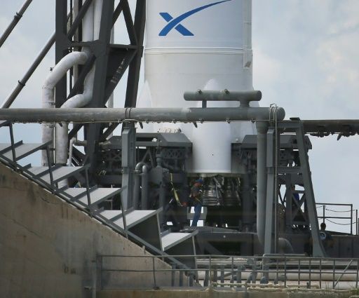
SpaceX successfully landed a reusable Falcon 9 rocket on a floating drone ship at sea early Sunday after the vehicle had sent a Japanese communications satellite into orbit.
The California-based company’s eighth launch this year was part of its ongoing effort to re-use costly rocket parts instead of jettisoning them into the ocean.
It was also the fourth time SpaceX has vertically landed a used Falcon 9 rocket aboard a floating platform at sea.

Although this another article that highlights again China’s planned launch; I wanted to share it because it does (in a pragmatic approach) highlight a couple of the key benefits for having QC.
The imminent launch of the world’s first quantum communication satellite is widely believed to herald a breakthrough in China’s development of quantum technology.
Mysterious and confusing, the study of minute particles smaller than atoms has been applied in fields as diverse as computer processing, lasers and nuclear technology.
How will quantum communication change our lives — especially in the age of cyber attacks, wiretapping and information leakage?