Toggle light / dark theme

The Most Detailed Map of the Human Cell Ever Made — Powered by AI and Imaging

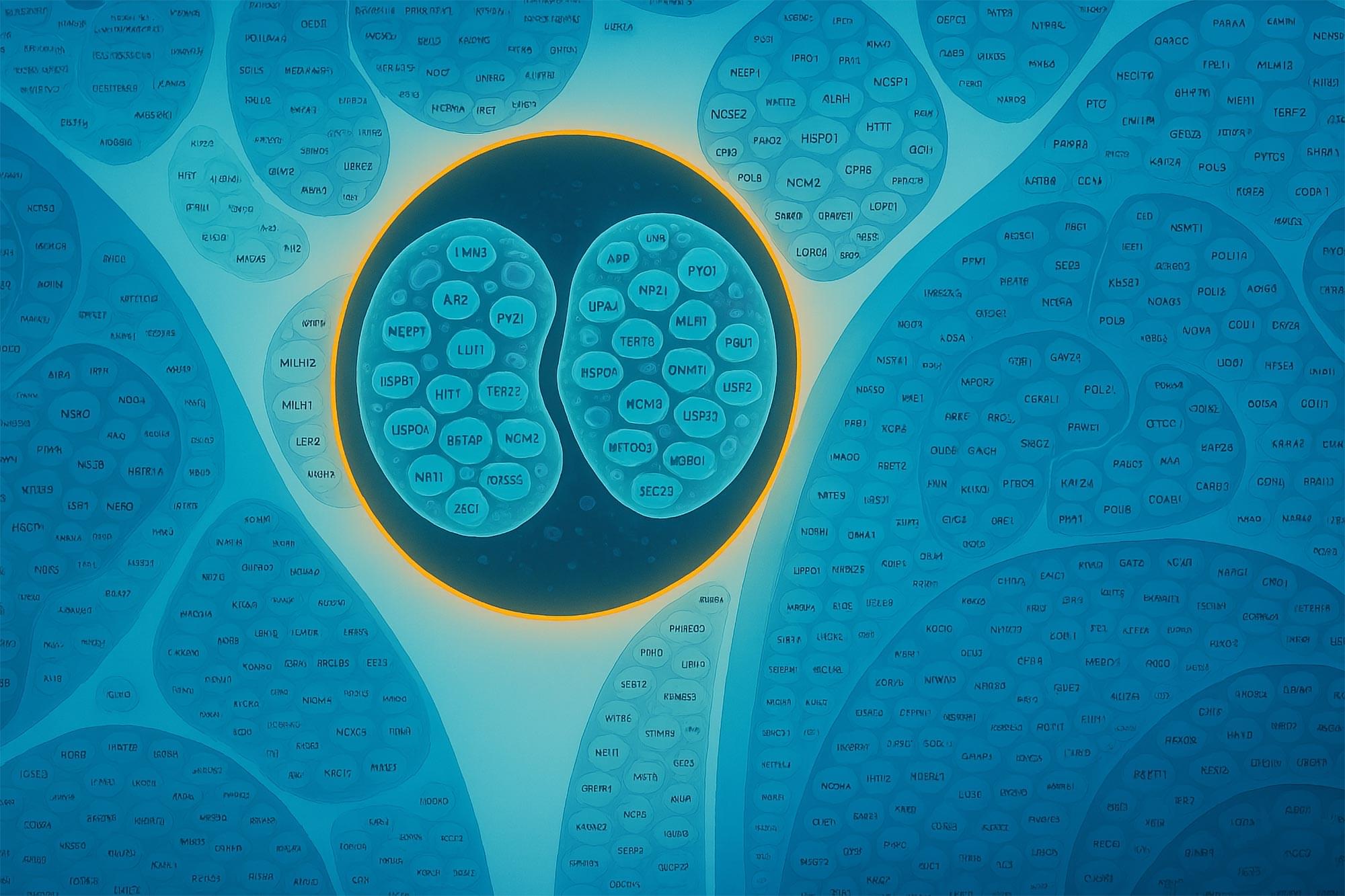
For the first time, scientists have built a detailed, interactive map of a human cell, revealing how thousands of proteins organize and work together.

Using advanced imaging and AI tools like GPT-4, they uncovered hundreds of previously unknown protein functions and identified key cellular assemblies tied to childhood cancers. This map not only changes how we study cell biology but could also transform our understanding of disease at the molecular level.

Mapping the Human Cell: A 400-Year Quest.

Stanford Scientists Create “Digital Twin” of the Brain Using AI

Just as pilots use flight simulators to safely practice complex maneuvers, scientists may soon conduct experiments on a highly realistic simulation of the mouse brain. In a new study, researchers at Stanford Medicine and their collaborators developed an artificial intelligence.

Artificial Intelligence (AI) is a branch of computer science focused on creating systems that can perform tasks typically requiring human intelligence. These tasks include understanding natural language, recognizing patterns, solving problems, and learning from experience. AI technologies use algorithms and massive amounts of data to train models that can make decisions, automate processes, and improve over time through machine learning. The applications of AI are diverse, impacting fields such as healthcare, finance, automotive, and entertainment, fundamentally changing the way we interact with technology.

UAV-Spherical Data Fusion Approach to Estimate Individual Tree Carbon Stock for Urban Green Planning and Management

Due to ever-accelerating urbanization in recent decades, exploring the contributions of trees in mitigating atmospheric carbon in urban areas has become one of the paramount concerns. Remote sensing-based approaches have been primarily implemented to estimate the tree-stand atmospheric carbon stock (CS) for the trees in parks and streets. However, a convenient yet high-accuracy computation methodology is hardly available. This study introduces an approach that has been tested for a small urban area. A data fusion approach based on a three-dimensional (3D) computation methodology was applied to calibrate the individual tree CS. This photogrammetry-based technique employed an unmanned aerial vehicle (UAV) and spherical image data to compute the total height (H) and diameter at breast height (DBH) for each tree, consequently estimating the tree-stand CS.

/* */