A QUT-led study analyzing data from NASA’s Perseverance rover has uncovered compelling evidence of multiple mineral-forming events just beneath the Martian surface—findings that bring scientists one step closer to answering the profound question: did life ever exist on Mars?
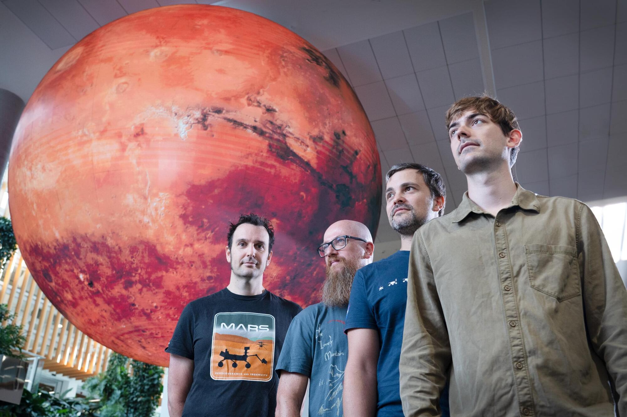
The QUT research team led by Dr. Michael Jones, from the Central Analytical Research Facility and the School of Chemistry and Physics, includes Associate Professor David Flannery, Associate Professor Christoph Schrank, Brendan Orenstein and Peter Nemere, together with researchers from North America and Europe.
The paper, “In-situ crystallographic mapping constrains sulfate precipitation and timing in Jezero crater, Mars” is published in Science Advances.