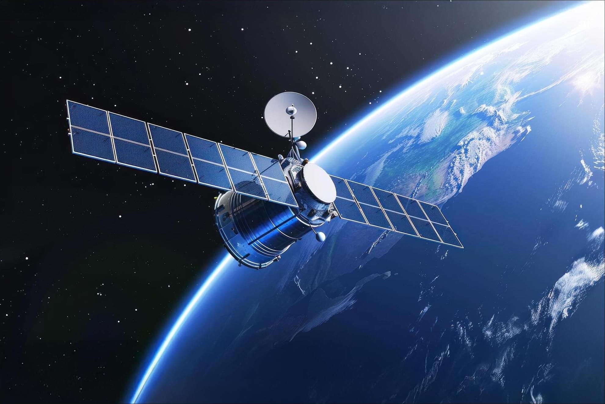
Satellites designed to provide internet service are now serving an unexpected second purpose: helping scientists map the nearly invisible atmosphere at the edge of space.
Researchers at Kyoto University have used orbital changes from about 1,200 Starlink satellites to map Earth’s thermosphere, a thin and difficult-to-observe region of the upper atmosphere. Their analysis produced the first tomographic map of its kind, revealing atmospheric density patterns roughly 482 kilometers (300 miles) above Earth. The study was published in Earth, Planets, and Space.
Although satellites in low Earth orbit travel through what appears to be empty space, traces of atmosphere remain even hundreds of kilometers above the surface. Collisions with these sparse particles create drag, slowly reducing a spacecraft’s speed and altitude.