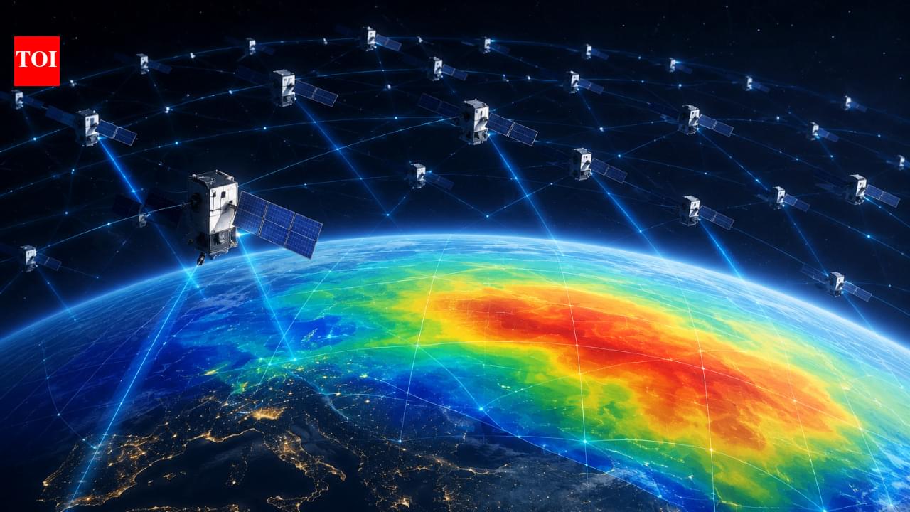
A network of Starlink satellites designed primarily for internet connectivity is giving scientists a new way to study one of the hardest-to-observe regions of Earth’s atmosphere. According to a study by researchers at Kyoto University, publicly available orbital data from roughly 1,200 Starlink satellites were used to estimate the density of the thermosphere at an altitude of about 482 kilometres.