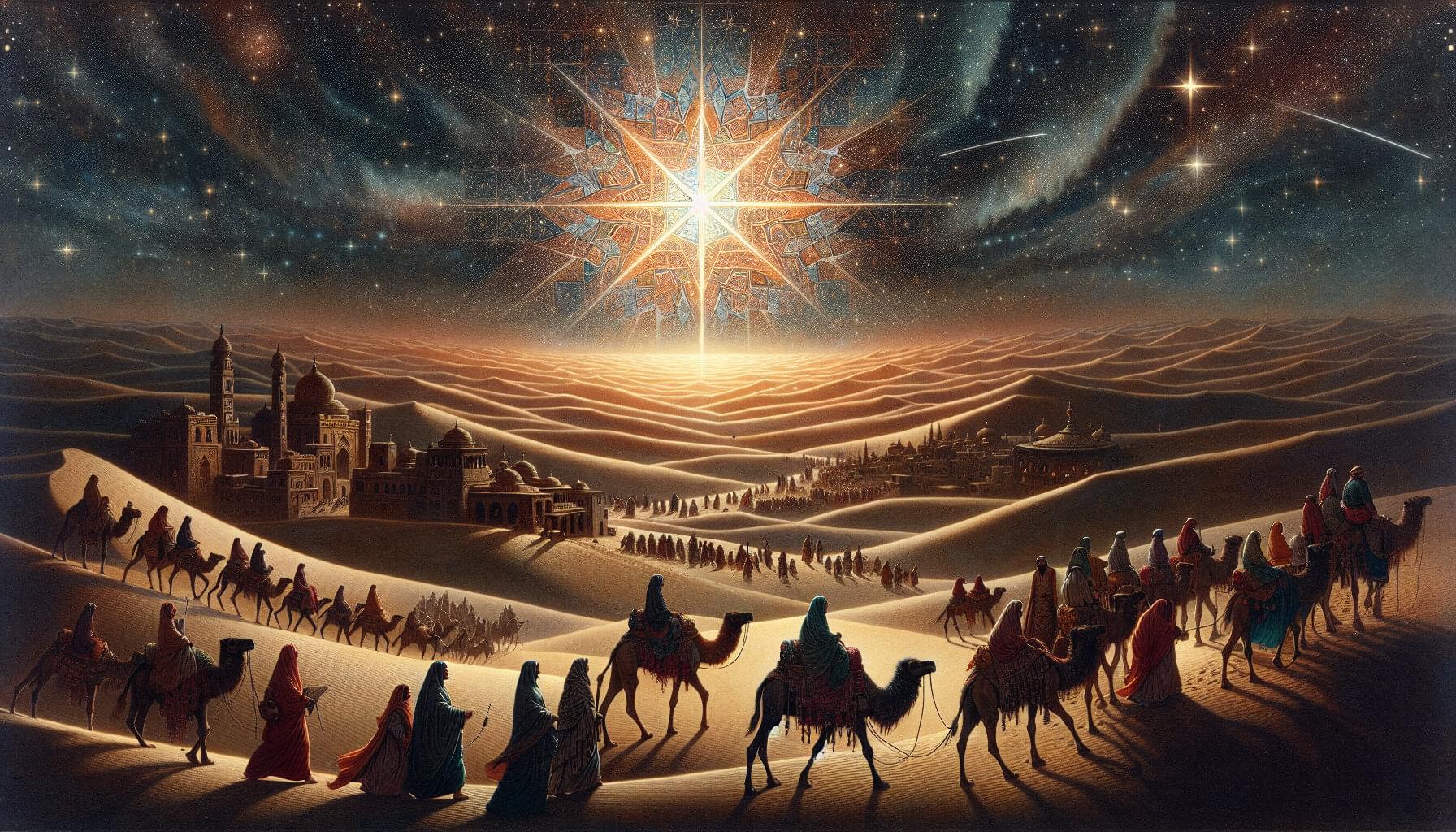
Megathrust earthquakes are large earthquakes that occur on faults found along the boundaries between tectonic plates. The Nankai Trough is a megathrust earthquake zone lying off the southwestern coast of Japan, and experts estimate that this zone could generate a potentially devastating (magnitude 8 or 9) large earthquake sometime in the next 30 years. In addition to the direct catastrophic impact of such powerful ground shaking, a seismic event of this magnitude could trigger cascading hazards such as destructive tsunamis.
Developing the technologies for efficient and reliable seafloor monitoring is paramount when considering the potential for socioeconomic harm represented by megathrust earthquakes. Traditionally, seafloor measurements have been obtained using transponder stations located on the seafloor that communicate with satellites via buoys or ocean-going vessels to produce accurate positional information. However, data collection using such systems has problems such as low efficiency and speed.
In a study published in Earth and Space Science, researchers at Institute of Industrial Science, The University of Tokyo, addressed the challenge of acquiring reliable, high-precision, real-time seafloor measurements by constructing a seaplane-type unmanned aerial vehicle (UAV) that can withstand ocean currents and wind. This vehicle is intended for use with the Global Navigation Satellite System-Acoustic (GNSS-A)―a system that uses satellites to determine locations on Earth―to provide a communication link with seafloor transponder stations.
For the first time, researchers at #UTokyo_IIS, quickly and efficiently measure the seafloor down to the centimeter-level using an unmanned aerial vehicle.