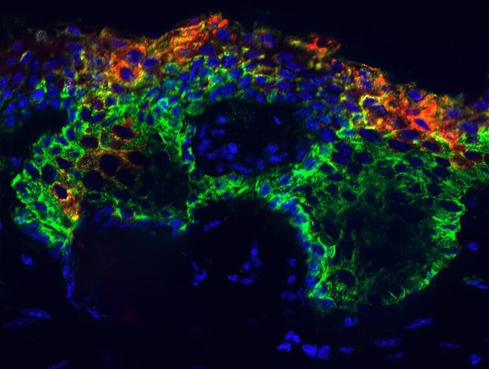
Early on, every stem cell faces a fateful choice. During skin development, for instance, the embryonic epidermis begins as a single layer of epidermal progenitor cells. Their choice is to become a mature epidermal cell or switch to becoming a hair follicle cell. This so-called fate switch is governed by the transcription factor SOX9. If the progenitor cell expresses SOX9, hair follicle cells develop. If it doesn’t, epidermal cells do.
But there is a dark side to SOX9, as it’s implicated in many of the deadliest cancers worldwide, including lung, skin, head and neck, and bone cancer. In skin, some aberrant adult epidermal stem cells later turn on SOX9 despite their chosen path—and never turn it off, kickstarting a process that ultimately activates cancer genes.
Scientists have never fully understood how this doomed outcome ensues at a molecular level. But now Rockefeller researchers have revealed the mechanisms behind this malignant turn of events. SOX9, it turns out, belongs to a special class of proteins that govern the transfer of genetic information from DNA to mRNA. That means it has the ability to pry open sealed pockets of genetic material, bind to previously silent genes within, and activate them. They published their results in Nature Cell Biology.