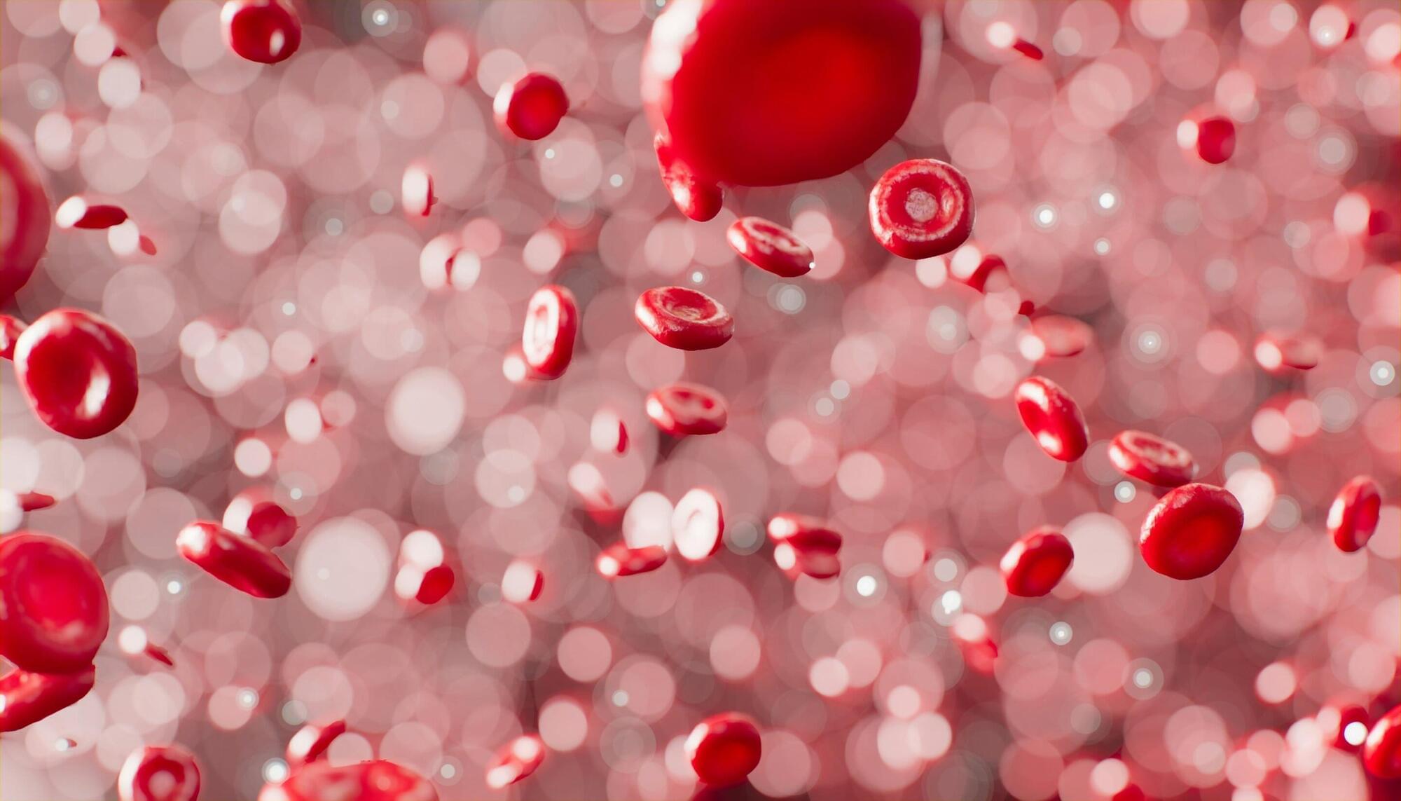
Researchers at Touro University Nevada have discovered that tiny particles in the blood, called extracellular vesicles (EVs), are a major player in how a group of hormones are shuttled through the body. Physical exercise can stimulate this process.
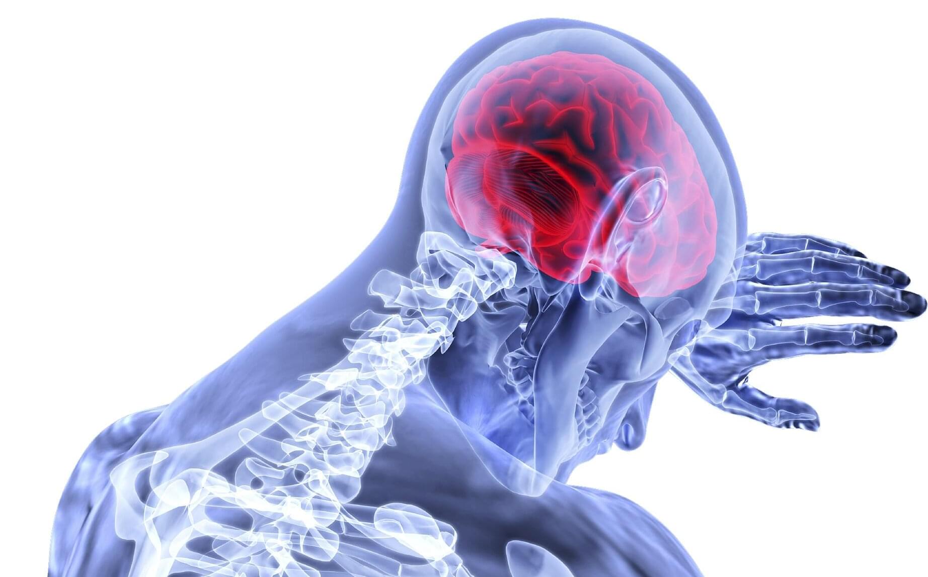
The findings, published in the journal Proceedings of the National Academy of Sciences, open the door to deeper understanding of hormone circulation and access to the brain, how exercise may trigger changes in energy balance, mental health, and immune function, and circulation of certain drugs.
Blood and other body fluids are teeming with EVs—tiny particles that exist outside of cells. EVs transmit signals from cell-to-cell within tissues and a long distance across organ systems by delivering biological cargo such as proteins, lipids, and nucleic acids into cells. They also remove cell waste.