Those that have nothing to hide have nothing to fear. From an episode of the early outer limits OBIT.
Use code isaacarthur at the link below to get an exclusive 60% off an annual Incogni plan: https://incogni.com/isaacarthur.
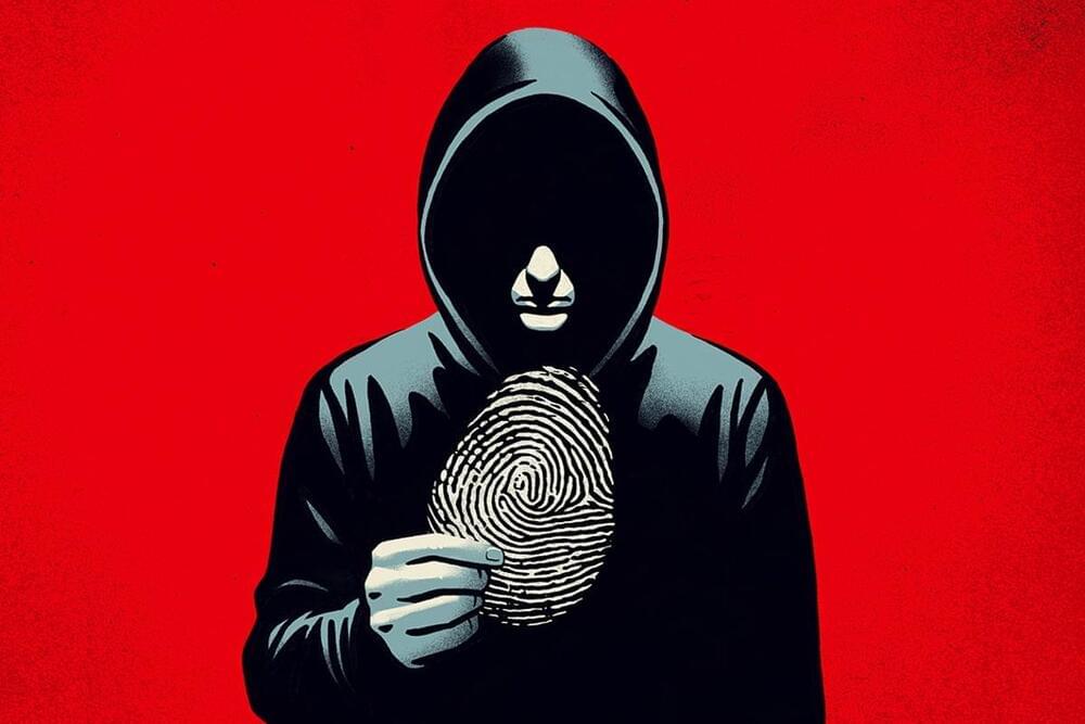
Technology brings us many wonders, but it may also bring about the end of our privacy. What, if anything, can we do to protect it?
Join this channel to get access to perks:
/ @isaacarthursfia.
Visit our Website: http://www.isaacarthur.net.
Join Nebula: https://go.nebula.tv/isaacarthur.
Support us on Patreon: / isaacarthur.
Support us on Subscribestar: https://www.subscribestar.com/isaac-a…
Facebook Group: / 1583992725237264
Reddit: / isaacarthur.
Twitter: / isaac_a_arthur on Twitter and RT our future content.
SFIA Discord Server: / discord.
Credits:
Is Privacy Going Extinct?
Episode 466; September 26, 2024
Written, Produced \& Narrated by: Isaac Arthur.
Editors: Merv Johnson II
Select imagery/video supplied by Getty Images.
Music Courtesy of Epidemic Sound http://epidemicsound.com/creator
