Toggle light / dark theme

Weighing 600 million buildings to help construct a more efficient future

A new study helps show how builders and city planners can minimize the materials needed to accommodate the planet’s future population.

“How we plan cities today will shape their material demand for decades,” said Jinchao Song, the first author of the new study and a U-M research fellow with the School for Environment and Sustainability, or SEAS. “Using materials more efficiently can help cities accommodate future population growth while reducing the emissions associated with construction. If we use less material, we will have less energy consumption and carbon emissions.”

In the study, published in the journal Nature Cities, Song and colleagues combined high-resolution satellite imagery and other geospatial data with building material information to calculate the weight of 606 million buildings around the world. Working with experts from China, Denmark and the Netherlands, she then analyzed how economic conditions, population density and characteristics of the built environment, including urban form, were associated with material-use efficiency across cities.
NASA Just Proved Satellites Can Navigate Without GPS

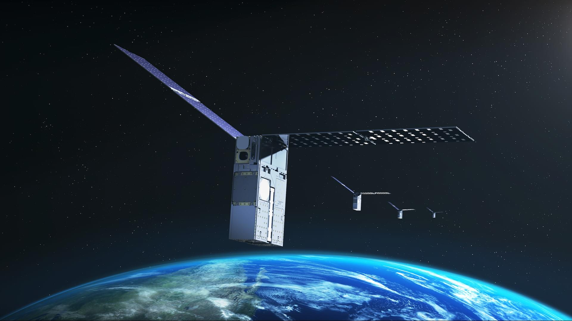
NASA has demonstrated a new way for satellites to navigate without GPS by using the objects around them as landmarks in space.

NASA’s Starling mission has reached another milestone in spacecraft autonomy with a new system that can determine a satellite’s position by using other objects in space as reference points rather than depending on a traditional navigation network.

The FALCON (Fast Autonomous Lost-in-space Catalog-based Optical Navigation) technology demonstration represents another step toward spacecraft that can operate with greater independence. As NASA prepares for more missions beyond Earth’s orbit, systems such as FALCON could support lunar satellite swarms, distributed science missions, and future human exploration.

A Cosmic Catastrophe May Have Turned Neptune’s Ancient Moons Inside Out

Neptune’s tiny moons may be ancient wreckage, preserving material exposed when a catastrophic event shattered much larger icy worlds.

In 1989, Voyager 2 discovered six previously unknown moons around Neptune. Five of them are tiny satellites that travel just beyond the planet’s main rings. Their small size and great distance from Earth have made them especially difficult to study in detail.

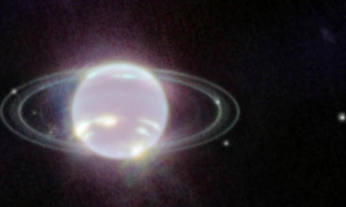
Now, NASA’s James Webb Space Telescope (JWST) has given scientists a much closer look. A Caltech-led team examined Neptune’s rings along with three of its moons, Larissa, Galatea, and Proteus, and found that their composition appears unlike that of other known bodies in the outer solar system.

How 2 US, European Satellites Are Studying Hurricanes During El Niño

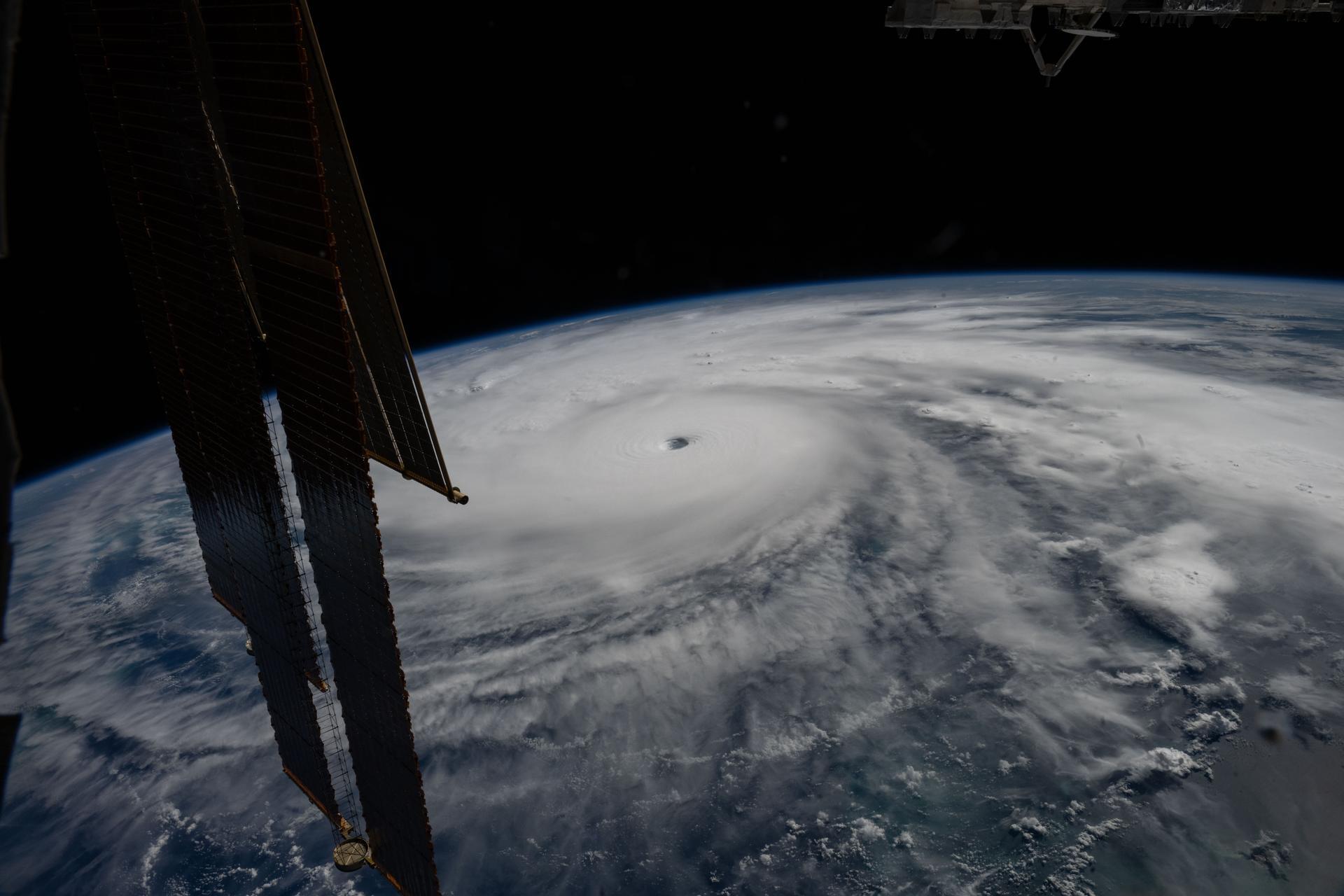
Last November, NASA and its European partners launched the Sentinel-6B satellite to improve hurricane forecasts, help protect infrastructure, and benefit commercial industries, including shipping. The satellite now is flying 30 seconds behind its predecessor, Sentinel-6 Michael Freilich. Both satellites are providing precise sea level height measurements during what oceanographers expect to be a historic El Niño, a naturally occurring oceanic phenomenon in which warmer-than-usual Pacific waters shift global weather patterns.

The two satellites make up the Copernicus Sentinel-6/Jason-CS (Continuity of Service) mission, the latest in a series of ocean-observing radar altimetry missions that have been monitoring Earth’s changing seas continuously since the early 1990s.

The data each satellite is collecting will not only allow scientists to better understand this year’s El Niño but will also help them create more accurate hurricane predictions.

Kinéis-Netmore Hybrid IoT Partnership Makes Satellite Connectivity Plug-and-Play

🛰️ Kinéis + Netmore Make Hybrid Satellite Connectivity Plug-and-Play.

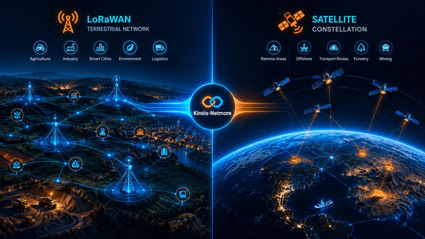
Netmore has integrated Kinéis’ European satellite constellation into its LPWAN platform, delivering seamless hybrid terrestrial-satellite IoT connectivity.

The key advantage: No custom hardware engineering required. Customers can deploy hybrid connectivity immediately through the existing platform, with automatic switching between LoRaWAN and satellite.

This removes the traditional barrier that kept satellite connectivity out of reach for most industrial operators. Market projection: Hybrid IoT connectivity is expected to grow from $8.6B in 2025 to $89.4B by 2034.

🔗 Full analysis:

#SatelliteIoT #HybridConnectivity #IIoT


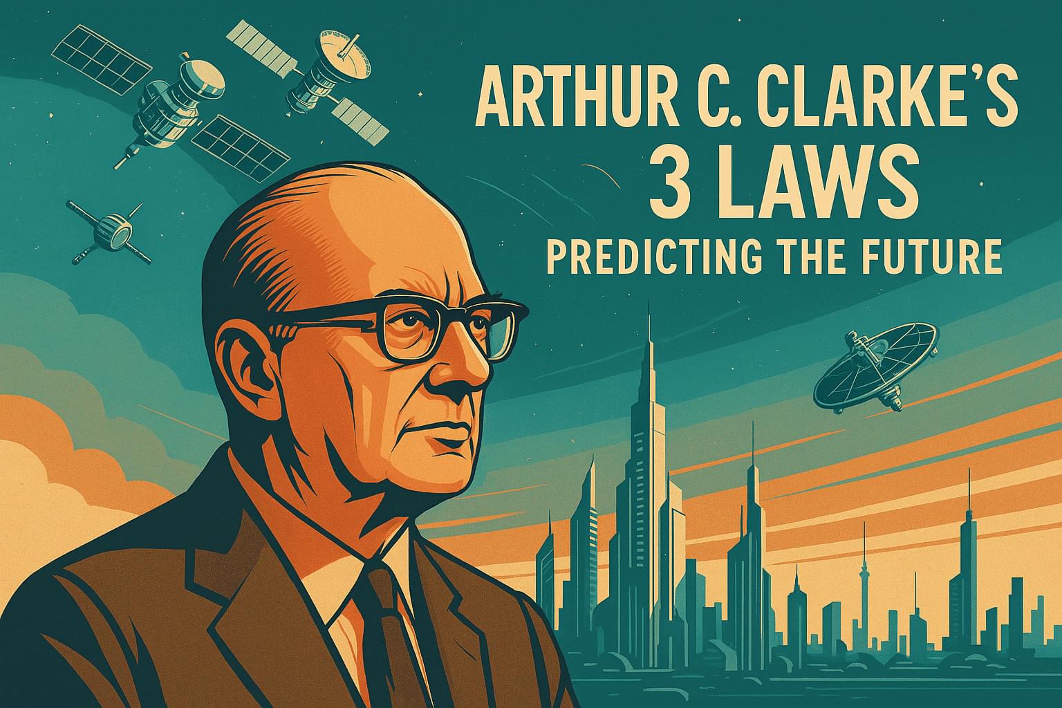
Arthur C. Clarke’s 3 Laws: When the Future Looks Like Magic

Sixty years ago, a man sat in front of a camera and described the world we live in today.

Satellites. Instant global communication. Machines that think, which we now just call #AI.

Arthur C. Clarke got much of it right, and he was not guessing.

What interests me more than his predictions is what sits underneath them. Three short sentences about how the future actually arrives. Not laws of physics. Laws of psychology. They explain why the most credentialed person in the room is so often the one most confidently wrong about what comes next.

You have probably heard one of the three quoted, usually by someone who has no idea whose line it is. The other two are the ones worth arguing about.

I wrote up all three, plus three rare retro-futurist interviews where you can watch him do the work live.

So the next time somebody tells you that something is impossible, the useful question is not whether they are right. It is what Clarke would say.

New free-space optical link adds a wireless component to the nation’s longest quantum network

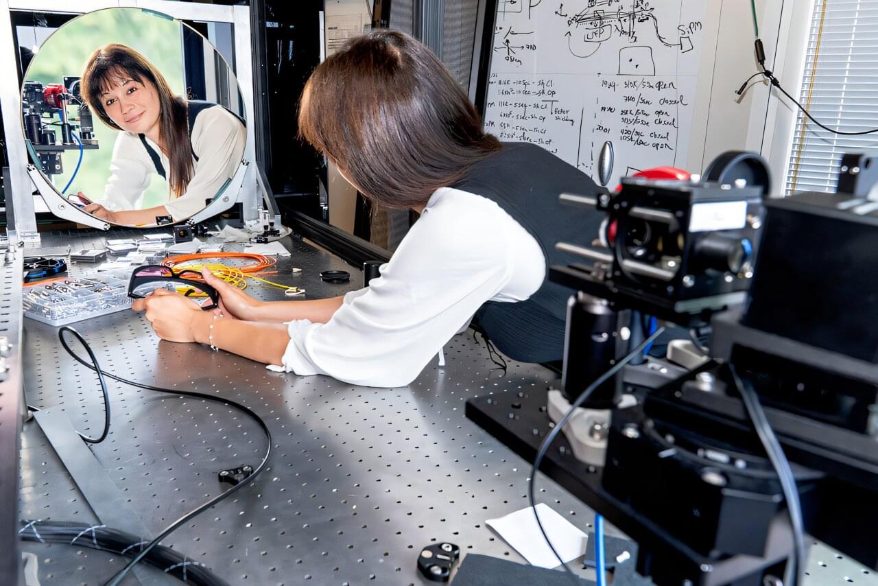
There’s a new lighthouse on Long Island. But instead of shining light to guide ships through waterways, this one transmits and receives particles of light that carry quantum information. Perched atop a seven-story building at the U.S. Department of Energy’s (DOE) Brookhaven National Laboratory, the “Quantum Lighthouse” is a key pillar of the free-space optical (FSO) link spanning Brookhaven Lab, the State University of New York at Stony Brook (Stony Brook University) and Yale University.

“An FSO link is analogous to the wireless technology that allowed today’s classical internet to expand beyond wired connections to orbiting satellites, as well as our cellphones,” said Justine Haupt, Brookhaven Lab’s lead scientist on the cross-institutional FSO link project. “It’s one of the key technologies needed to make a quantum internet truly useful.”

This FSO link—the first permanent one of its kind—adds a wireless component to the nation’s longest quantum network, which spans 161 miles (259 kilometers) across Long Island and the New York metropolitan area.

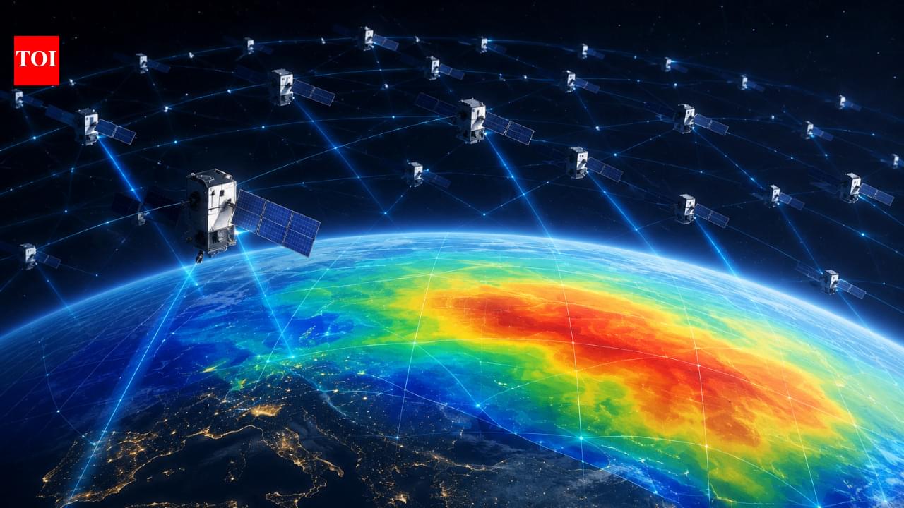
Researchers turned data from roughly 1,200 Starlink satellites into a giant scanner for Earth’s upper atmosphere, mapping a hardtoobserve region around 500 kilometres above the planet

A network of Starlink satellites designed primarily for internet connectivity is giving scientists a new way to study one of the hardest-to-observe regions of Earth’s atmosphere. According to a study by researchers at Kyoto University, publicly available orbital data from roughly 1,200 Starlink satellites were used to estimate the density of the thermosphere at an altitude of about 482 kilometres.

Researchers Found a New Use for Starlink, Turning 1,200 Satellites Into Atmospheric Sensors

A part of Earth’s atmosphere that is notoriously difficult to observe may have an unexpected new set of eyes. Researchers are tapping into an enormous source of orbital data, with potential benefits for satellite tracking and space safety.

NASA’s Starling Mission Opens New Frontiers in Space Navigation

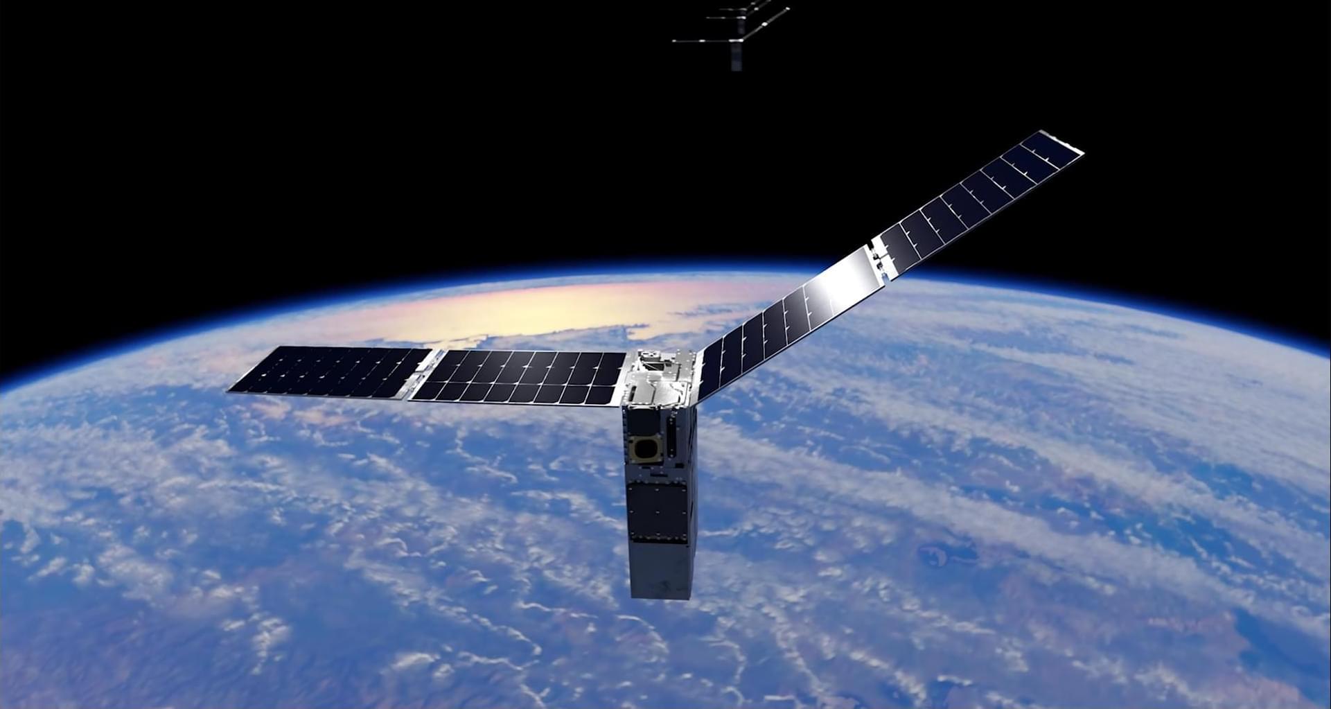
NASA’s Starling mission has marked another milestone in spacecraft autonomy by using a new system that determines a satellite’s position in orbit by referencing other objects in space, instead of relying on a navigational network.

The FALCON (Fast Autonomous Lost-in-space Catalog-based Optical Navigation) technology demonstration is a step toward spacecraft being able to operate more independently. As NASA prepares for more missions beyond Earth’s orbit, technologies like FALCON can support lunar satellite swarms, distributed science missions, and human exploration.

Traditional satellite navigation depends on GPS signals, but those can be unreliable or unavailable in lunar or deep space environments. The FALCON payload is a joint flight experiment by NASA and EraDrive, a startup spun out from Stanford University. It combines EraDrive’s Era-Core flight software and embedded algorithms with Starling’s cameras and an onboard catalog of known satellites to support GPS-independent navigation and space situational awareness.

/* */