In 2024, extensive flooding in southern Brazil caused significant damage, particularly in Rio Grande do Sul. Maps showing floodwater depths were vital for disaster response and economic damage assessments, supported by data from NASA and other scientific sources.
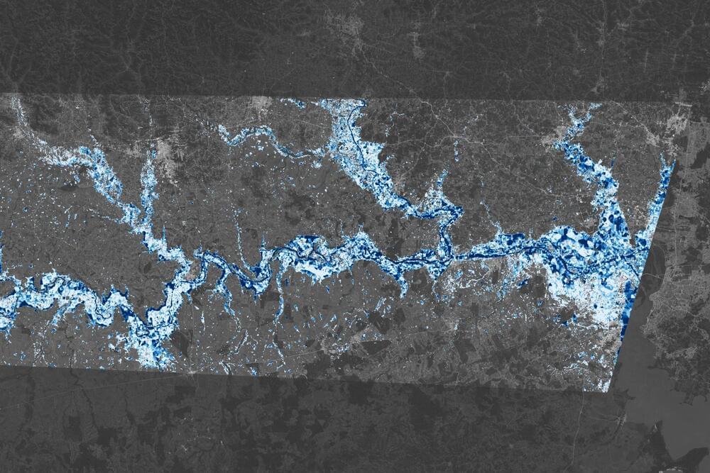
Storms and torrential rain battered southern Brazil beginning in late April 2024, causing deadly, destructive flooding that persisted through much of May. Toward the end of the month, parts of Rio Grande do Sul state remained underwater, and the scope of the damage became increasingly evident.
Maps of floodwater extent are one way to assess a flooding event. But information about the depth of that water is also useful, potentially aiding rescue and relief operations, informing decisions about road closures and accessibility, and contributing to analyses of damage and flood risk.