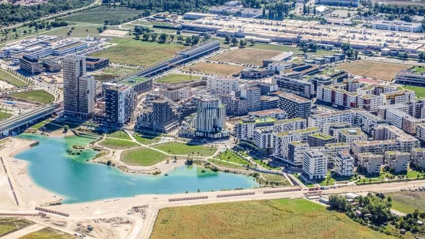
The result: aspern Seestadt, reclaims a brownfield area to create a development that embraces new urban ideals while retaining the classical urban structure of old Vienna.
As aspern Seestadt has evolved, it has emerged as one of Europe’s most dynamic planned communities and an incubator for smart city initiatives. Geographic information system (GIS) technology helps planners implement clean energy and low-emission strategies and aids the long-range planning and implementation to ensure that aspern Seestadt achieves a unique balance of sustainability and livability.
-Vienna’s sustainable city within a city can be a model used by developing and developed countries dealing with housing crisis.
Mapping tools help the City of Vienna and its partners test and apply smart city concepts to the Aspern Seestadt planned development.
