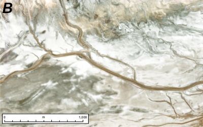
Navigating and mapping rivers has long been a central component in human exploration. Whether it was Powell exploring the Colorado’s canyons or Pizarro using the Amazon to try to find El Dorado, rivers, and our exploration of them, have been extremely important. Now, scientists have mapped out an entirely new, unique river basin. This one happens to be on an entirely different planet, and dried up billions of years ago.
Three to four billion years ago, Mars did in fact have running rivers of water. Evidence for these rivers has shown up in satellite imagery and rover samples for almost as long as we have been exploring the red planet. Since Mars has little tectonics or erosion, that evidence has remained somewhat intact until the present day.
Recently, a team of scientists developed a tool to better examine those features. They managed to stitch together an 8-trillion pixel image of the entire Martian surface. Each pixel in this incredibly detailed image represents about a 5–6 square meter area. Unfortunately, it also doesn’t seem to available to the general public just year. Whether it is or not it is sure to prove useful for a variety of research projects regarding the environment of Mars. One of the first ones, which was recently published a paper in Geology was a map of the red planet’s river “ridges”.
