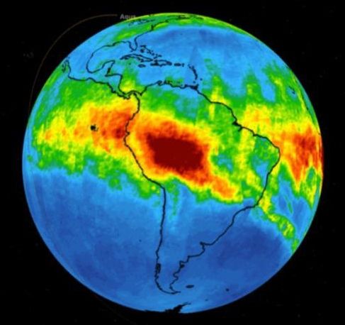
NASA has published a new sequence showing the carbon monoxide plume generated by the wildfires in Brazil, tracking the changes each day starting from August 8. The country has experienced record wildfires this year, and, as of August 23, has more than 2,500 active fires throughout the Amazon. NASA’s time-series map shows the carbon monoxide concentrations at an altitude of 18,000ft.