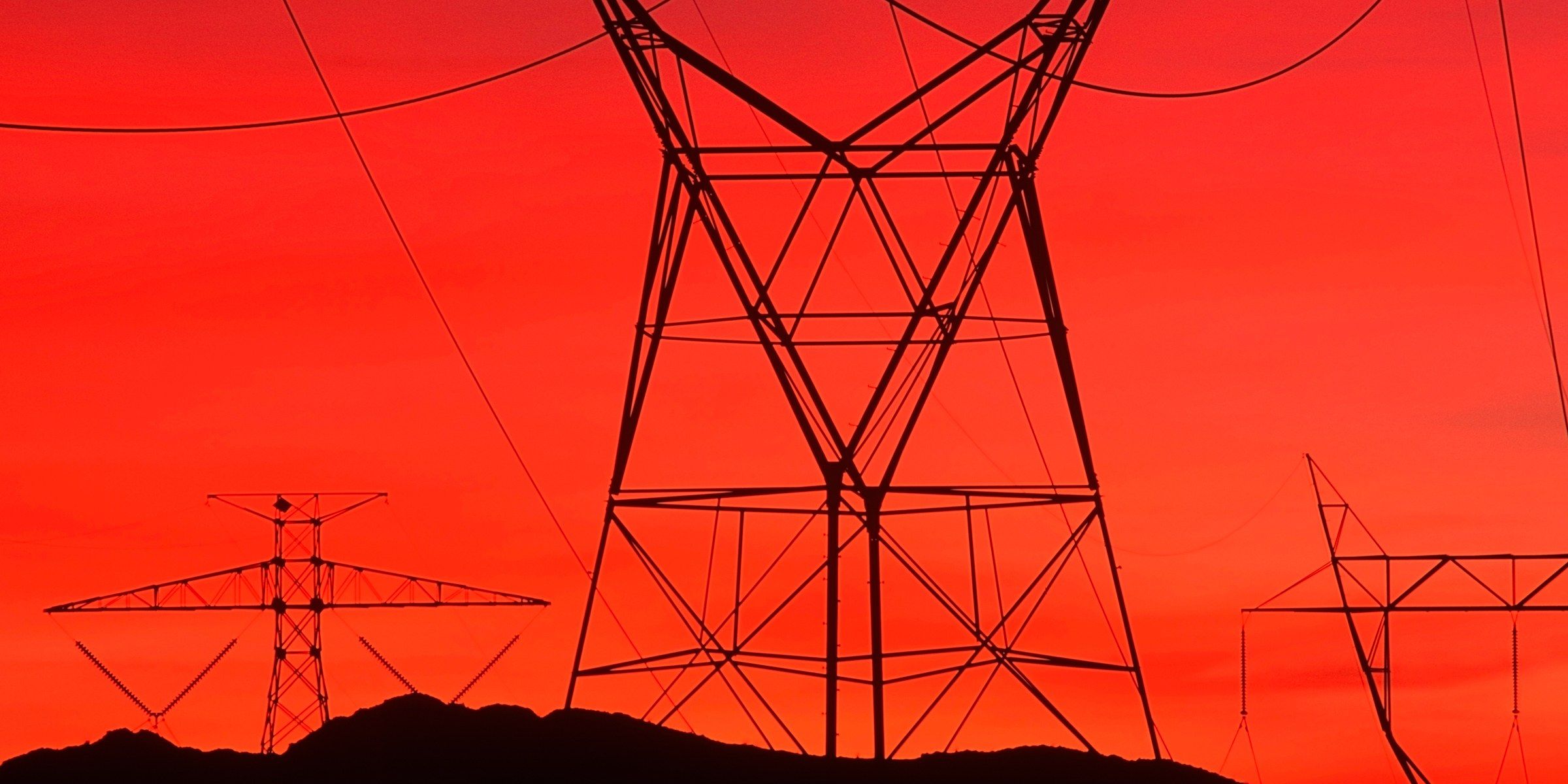
Hackers who hit American utilities this summer had the power to cause blackouts, Symantec says. And yes, most signs point to Russia.
Trouble with spying neighbors? Annoyed by teenage pranks? Concerned about terrorists? Kalashnikov has the answer — the new REX-1 Drone Killing Gun — “Looking at the market, I think the civilian version of our system could cost around $5,000…”
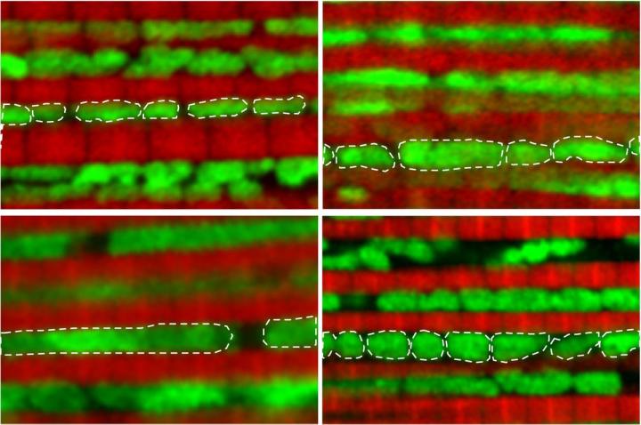
UCLA scientists working with middle-aged fruit flies say they were able to improve the insects’ health while markedly slowing down their aging process. The team thinks its technique could eventually help delay the onset of Parkinson’s disease, Alzheimer’s disease, cancer, stroke, cardiovascular disease, and other age-related diseases in humans.
The researchers zeroed in on mitochondria, which often become damaged with age. When cells can’t eliminate the damaged mitochondria, they can become toxic and contribute to a wide range of age-related diseases, said David Walker, Ph.D., a UCLA professor of integrative biology and physiology, and the study’s senior author.
Dr. Walker and his colleagues found that as fruit flies reach middle age—about one month into their two-month lifespan—their mitochondria change from their original small, round shape.
How will our relationship to technology evolve in the future? Will we regard it as something apart from ourselves, part of ourselves, or as a new area of evolution? In this new video from the Galactic Public Archives, Futurist Gray Scott explains that we are a part of a technological cosmos. Do you agree with Scott that technology is built into the universe, waiting to be discovered?
In Unexpected Futurist, we profile the lesser known futurist side of influential individuals. This episode’s unexpected time-traveler: Benjamin Franklin. Ben Franklin was an inventor, observer, electricity pioneer, and serial experimenter, so it’s not entirely surprising he looked to the future. But it turns out he was looking to the far, far future. In 1780 he wrote a letter to a friend in which he lamented that he was born during the dawn of science.