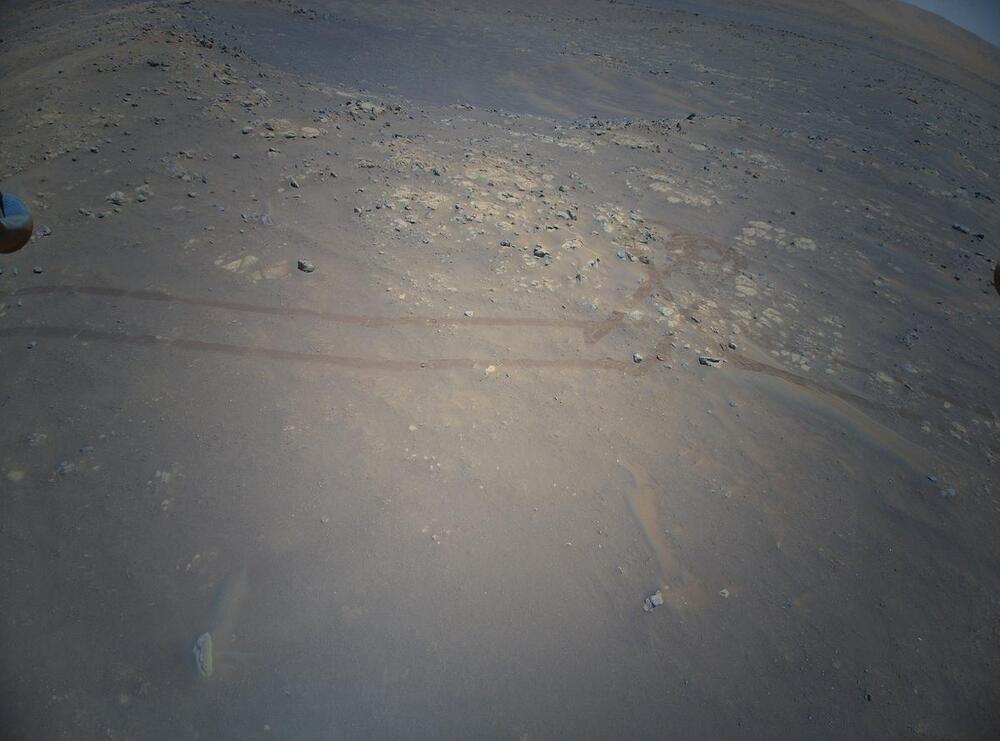
The next flight on Mars marks the first of 2022 and the nineteenth for NASA’s Ingenuity Mars Helicopter. The current mission goal is to reach the Jezero river delta to aid the Perseverance rover in path planning and scientific discovery. This flight, which will take place no earlier than Friday, Jan. 7, takes the scout vehicle out of the South Séítah basin, across the dividing ridge, and up onto the main plateau. The precise landing target for Flight 19 is near the landing site of Flight 8. Images taken during Flight 9 by the rotorcraft’s high-resolution Return-To-Earth (RTE) camera were used to select a safe landing zone.
While short, the flight has a challenging start due to featureless sandy terrain that the helicopter currently sits on. Initially chosen for the lack of rocks to land safely, the area is actually so devoid of rock that warnings were reported during Flight 18 landing due to insufficient features to track in the vision navigation. As a result, fault protection parameters will be updated to mitigate the risk of a premature landing mid-ascent.
Flight 19 is the third necessary to cover the same ground flown during Flight 9 — in the opposite direction. This slower approach was taken due to the lack of large landing sites in this portion of Séítah and lower atmospheric density in the summer months which requires higher rotor speeds and power draw from the motors. Spanning 207 feet (63 meters), this flight will last about 100 seconds at a groundspeed of 2.2 mph (1 meter per second) and altitude of 33 feet (10 meters) while taking 9 new RTE images. The final act of the flight is to turn nearly 180 degrees to flip the RTE camera to a forward-facing orientation for future flights toward the river delta.