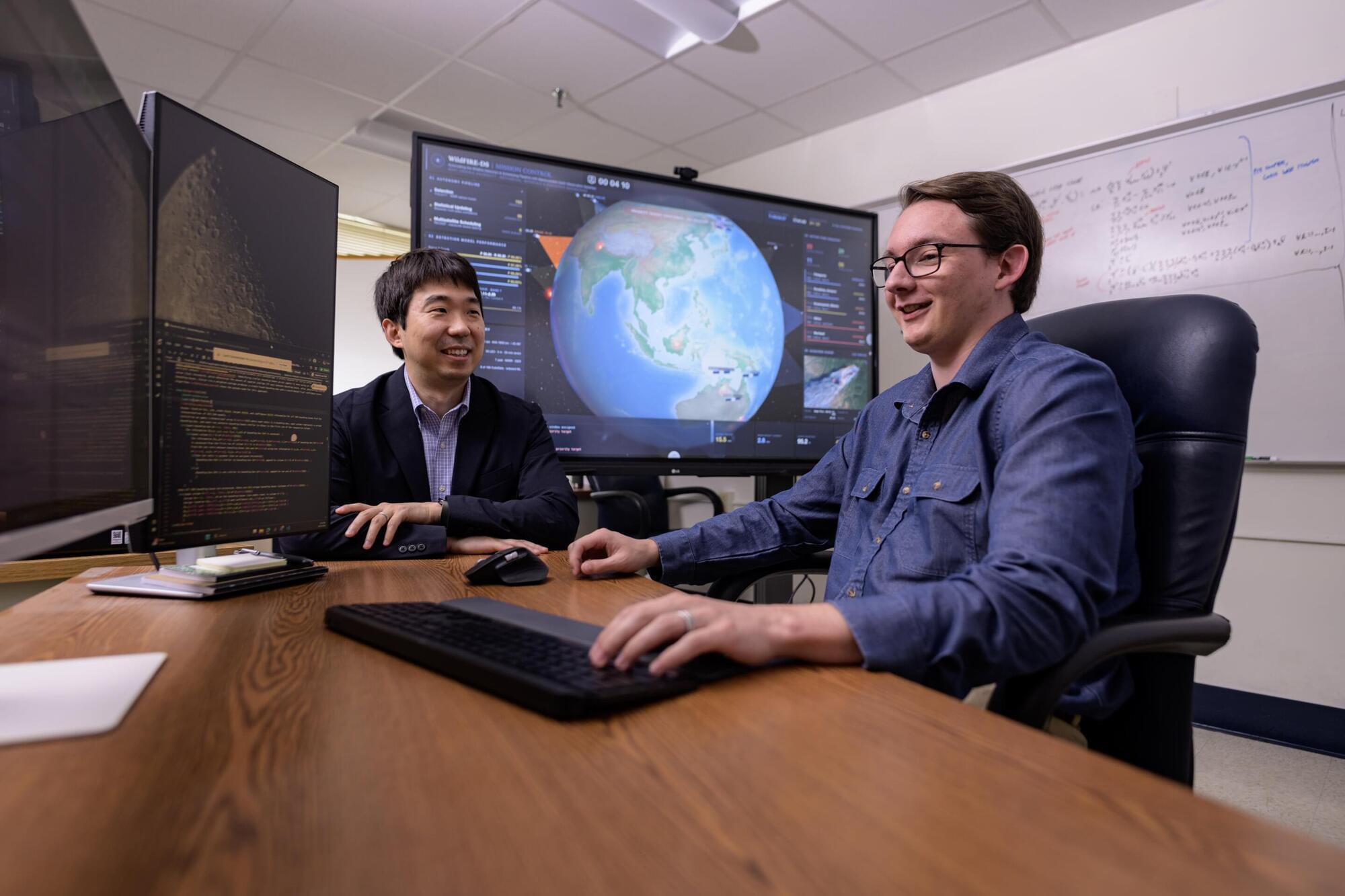
A new artificial intelligence system developed by West Virginia University engineers could help firefighters respond to wildfires sooner by enabling satellites to detect blazes and automatically adjust their positions for continued monitoring.
Unlike drones and ground-based sensors, satellites can monitor vast areas of the planet without requiring local infrastructure or routine maintenance. WVU researchers Brycen Pearl, Joshua Warner and Hang Woon Lee developed a framework that allows satellites not only to detect wildfires but also to coordinate with one another and adjust their observation schedules as fires spread.
“Wildfires move quickly—as fast as 15–20 mph (24–32 km/h) under the right conditions—and major wildfires can cover hundreds of thousands of acres,” according to Lee, director of the WVU Space Systems Operations Research Laboratory and assistant professor at the WVU Benjamin M. Statler College of Engineering and Mineral Resources.