The standard approach to satellite imagery is to snap huge batches of pictures and beam them back to Earth, where they can be sifted through by human operators and the best available algorithms.
It’s all worked well so far, but the time, transmission bandwidth, and energy required are starting to become bottlenecks. Modern satellites are simply capturing more pixels than scientists have time to look at.
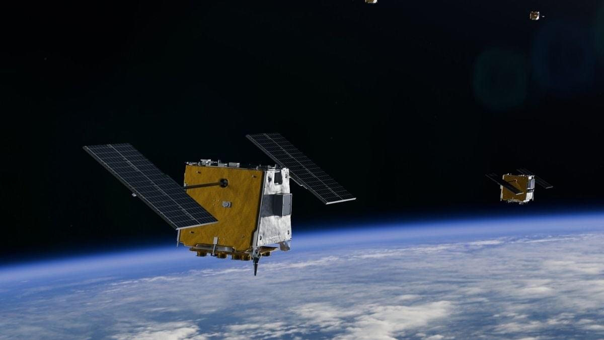
However, the YAM-9 satellite has just done something different: It has identified and described features in its image scans without needing to check back with ground control.