WASHINGTON — Maxar Intelligence developed a visual-based navigation technology that enables aerial drones to operate without relying on GPS, the company announced March 25.
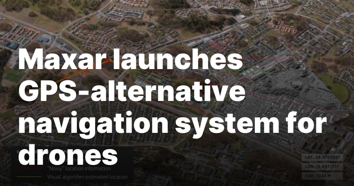
The software, called Raptor, provides a terrain-based positioning system for drones in GPS-denied environments by leveraging detailed 3D models created from Maxar’s satellite imagery. Instead of using satellite signals, a drone equipped with Raptor compares its real-time camera feed with a pre-existing 3D terrain model to determine its position and orientation.
Peter Wilczynski, chief product officer at Maxar Intelligence, explained that the Raptor software has three main components. One is installed directly on the drone, enabling real-time position determination. Another application georegisters the drone’s video feed with Maxar’s 3D terrain data. A separate laptop-based application works alongside drone controllers, allowing operators to extract precise ground coordinates from aerial video feeds.
