Measurements and data collected from space can be used to better understand life on Earth.
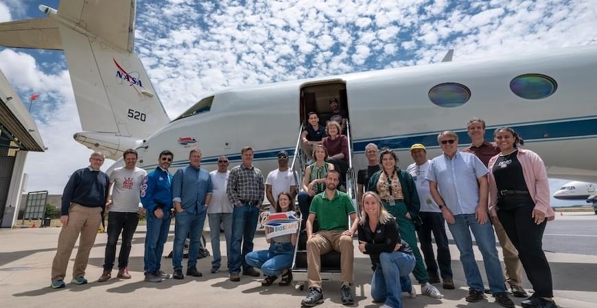
An ambitious, multinational research project funded by NASA and co-led by UC Merced civil and environmental engineering Professor Erin Hestir demonstrated that Earth’s biodiversity can be monitored and measured from space, leading to a better understanding of terrestrial and aquatic ecosystems. Hestir led the team alongside University of Buffalo geography Professor Adam Wilson and Professor Jasper Slingsby from the University of Cape Town on BioSCape, which collected data over six weeks in late 2024.
Two NASA aircraft and one South African aircraft flew over South Africa’s Greater Cape Floristic Region — one of the most biodiverse places on the planet — to collect ultraviolet, visual, thermal and other images. That data, combined with field work by the large team of scientists from the United States and South Africa, provides a comprehensive look at the region’s biodiversity, or life systems.