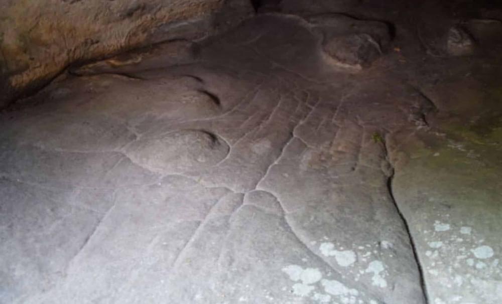
Beneath the sandstone floor of a French rock shelter lies a stunning artifact—what could be the world’s oldest 3D map. Its intricate carvings model water flows, valleys, and lakes in ways that defy expectations of Paleolithic capabilities. But how did early humans achieve such precision? And what mysteries do the map’s symbols still hold?
